Articles · Transportation research
Texas State University's AI pavement inspection method
Texas State is moving an AI pavement-inspection project into another phase. The method pairs images with depth data, while the research still calls for human verification.
Read the story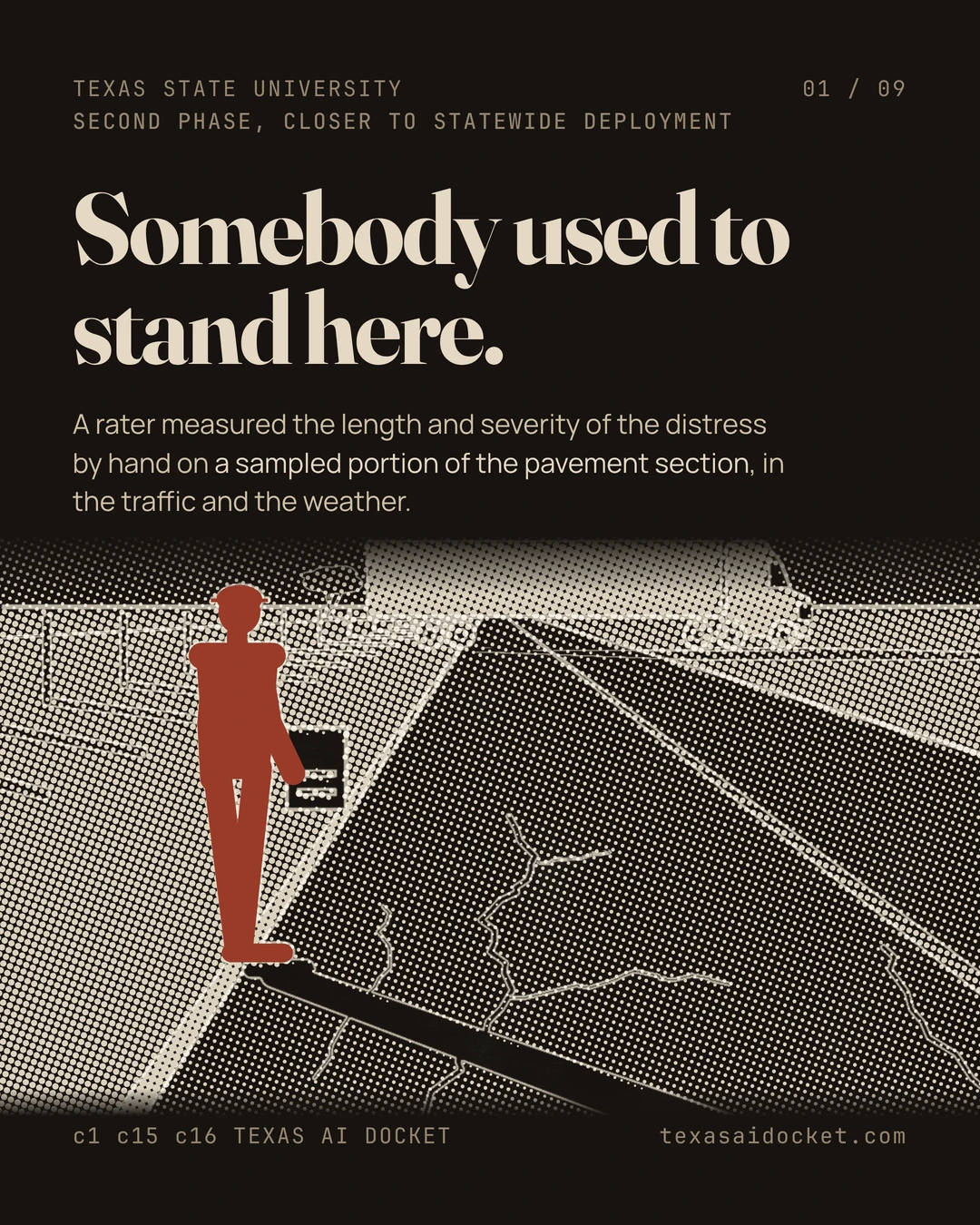




Texas State University describes its pavement-inspection research as moving closer to statewide use. The TxDOT-funded project combines ordinary photographs with depth data to distinguish damage from stains and prioritize serious hazards.
That is a description of a developing method, not confirmation of statewide deployment. The university lists further work on hairline cracks, severity scoring and adaptation to other surfaces without attaching delivery dates.
What the model is trying to replace
The research describes manual inspection of sampled pavement sections as costly and exposed to human error, traffic and weather. Automated assessment aims to reduce that burden. The team's published work nevertheless says pavement engineers must verify inaccurate automated results.
Related papers report detection and segmentation results under specific test conditions. Those metrics measure model tasks. They are not the same thing as TxDOT's combined pavement condition score, which includes ride quality and surface distress.
The road total needs a definition
The university's release gives an unsourced statewide lane-mile figure and calls the network highways. Federal tables count all functional systems, including local roads. Similar-looking totals do not establish that the documents measure the same network.
What deployment would need to show
The next evidence would identify where the method is used, how its results are checked and how they affect maintenance decisions. A research-phase announcement and benchmark gains do not establish those operational outcomes.
Sources for this story
- TXST Team Develops More Accurate Way to Evaluate Road Conditions
- Preserve our assets measures, TxDOT Performance Dashboard
- Table HM-60, Functional System Lane-Length 2024, Highway Statistics, Federal Highway Administration
- Table HM-60, Functional System Lane-Length 2023, Highway Statistics, Federal Highway Administration
- Detection of Flexible Pavement Surface Cracks in Coastal Regions Using Deep Learning and 2D/3D Images, Sensors 25(4), DOI 10.3390/s25041145
- A Multi-Resolution Attention U-Net for Pavement Distress Segmentation in 3D Images, Mathematics, DOI 10.3390/math13172752, publisher deposited abstract via Crossref
Claim-by-claim verification · 28 claims
Texas State University's news office reported on August 24th, 2026 that the project titled Artificial Intelligence for Pavement Condition Assessment from 2D/3D Surface Images has entered a second phase. The university describes that phase as closer to statewide deployment.
is now in its second phase, closer to statewide deployment with faster, more precise pixel-level detection of pavement damage than manual inspections
The university's release puts the size of the network at 703,000 lane miles of highways and cites no source for the figure.
Texas State University researchers are paving the way for smarter highway maintenance across Texas' 703,000 lane miles of highways.
The work is funded by the Texas Department of Transportation and led by Feng Wang of the Ingram School of Engineering with Jelena Tesic of computer science.
With continued Texas Department of Transportation (TxDOT) funding, a cross-disciplinary team led by Feng Wang, Ph.D., professor in the Ingram School of Engineering, and Jelena Tešić, Ph.D., associate professor of computer science, is developing an artificial intelligence (AI) system to detect road damage more accurately.
The principal investigator describes the purpose of the system as reducing reliance on human inspection, which he calls subjective and costly.
From a civil engineering perspective, this project leverages AI to automate pavement condition assessment using massive volumes of vendor-collected imagery data, thereby reducing reliance on traditional human inspection, which is often subjective and costly,
The release traces the project's equipment and data back to a 2D/3D pavement laser scanner and a van donated by TxDOT. It also names a federal university transportation center and an earlier National Science Foundation project.
Ingram School of Engineering investments in a state-of-the-art automated 2D/3D pavement laser scanner, a TxDOT-donated mobile research van, and support from the CREATE University Transportation Center and an earlier National Science Foundation project also helped prepare data for the TxDOT project.
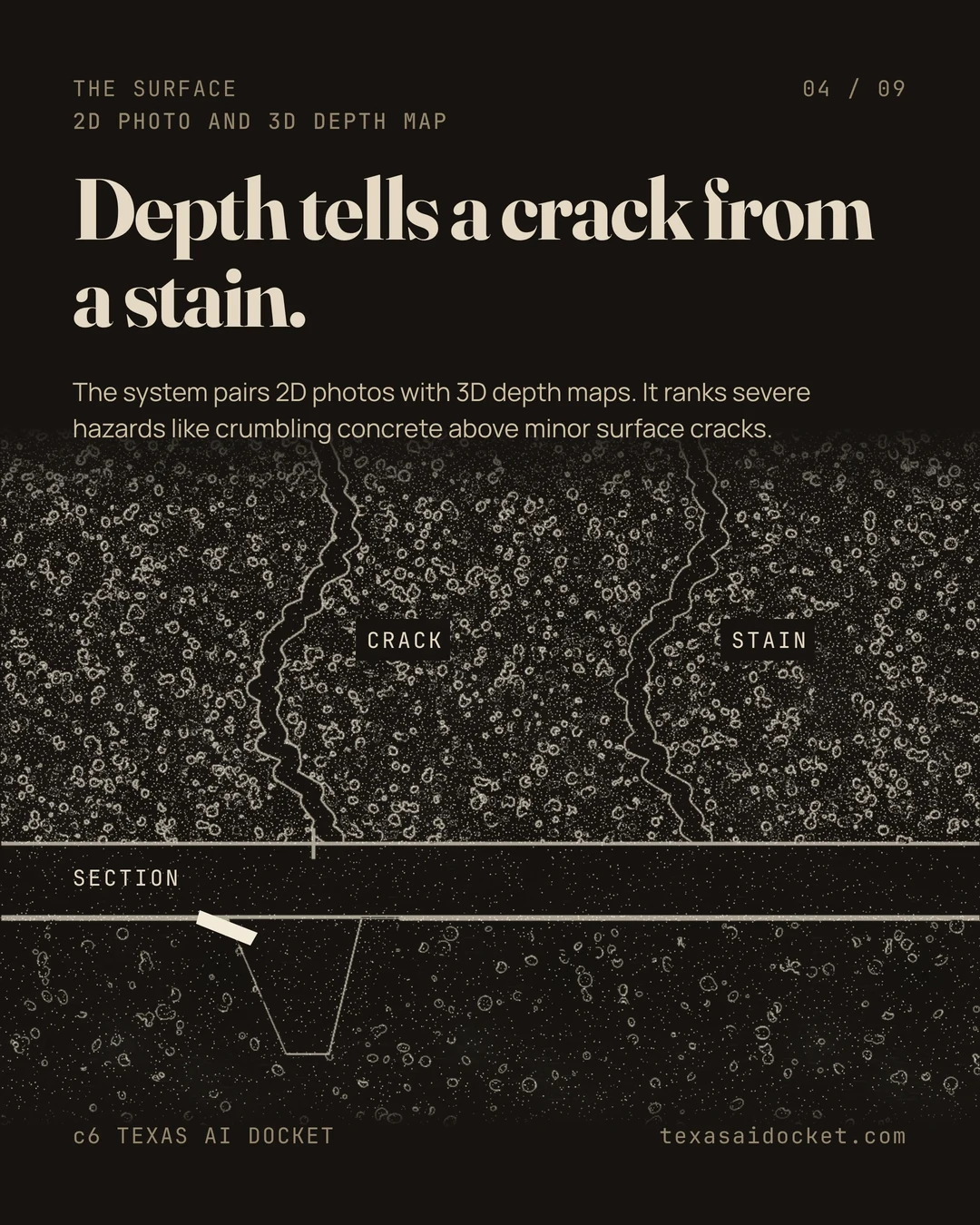
The method pairs ordinary photographs with depth data so the system can separate real damage from stains and rank severe hazards above minor cracking.
By pairing 2D photos with 3D depth maps, the system distinguishes real damage from stains, trace cracks, and prioritizes severe hazards like crumbling concrete over minor surface cracks.
The team's stated next steps are hairline crack detection, automatic severity scoring and adaptation to other climates and surfaces. No date is attached to any of them.
Next, the team plans to improve detection of hairline cracks, automatically score damage severity for maintenance scheduling, and adapt the technology for different climates and road surfaces across Texas.
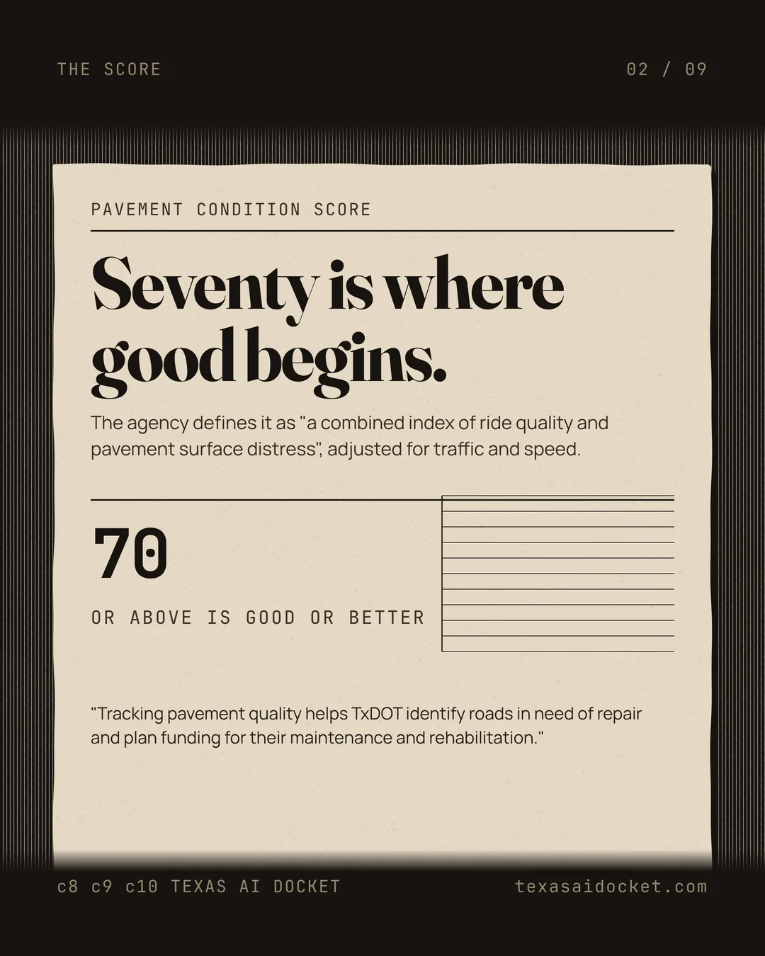
TxDOT defines the pavement condition score as a combined index of ride quality and surface distress, adjusted for traffic and speed.
Pavement condition score is a combined index of ride quality and pavement surface distress, adjusted for traffic and speed.
TxDOT treats a pavement condition score of 70 or above as good or better condition.
A score of 70 or above indicates the pavement is in good or better condition.
TxDOT states that tracking pavement quality is what it uses to identify roads needing repair and to plan maintenance and rehabilitation funding.
Tracking pavement quality helps TxDOT identify roads in need of repair and plan funding for their maintenance and rehabilitation.
TxDOT's published performance measure is the ratio of pavement lane miles scoring 70 or above to total lane miles.
Percentage of lane miles in good or better condition is the ratio of pavement lane miles that scored 70 or above to the total lane miles.
The Federal Highway Administration's Highway Statistics table HM-60 for 2024 puts Texas total lane miles at 707,436. That total runs across every functional system and includes rural local and urban local roads rather than highways alone.
Texas | 8,167 | 630 | 27,114 | 21,540 | 70,117 | 29,415 | 274,700 | 431,683 | 9,546 | 7,638 | 23,827 | 28,471 | 37,284 | 2,553 | 166,436 | 275,753 | 707,436
The same federal table for 2023 puts Texas total lane miles at 699,229, so the university's figure sits between the 2023 and 2024 federal totals.
Texas | 8,166 | 632 | 27,083 | 21,451 | 70,066 | 29,610 | 273,088 | 430,096 | 9,507 | 7,635 | 23,726 | 28,331 | 37,139 | 2,569 | 160,226 | 269,133 | 699,229
A 2025 peer-reviewed paper co-authored by Feng Wang and Yongsheng Bai names the Texas Department of Transportation as a funder under project number 0-7150.
This research is funded by the United States Department of Transportation through the Coastal Research and Education Actions for Transportation Equity (grant No. 69A3552348330) and Dwight D. Eisenhower Transportation Fellowship Program (grant No. 69JJ32545185), Texas Department of Transportation (project No. 0-7150), and the U.S. National Science Foundation (grant No. 2213694).
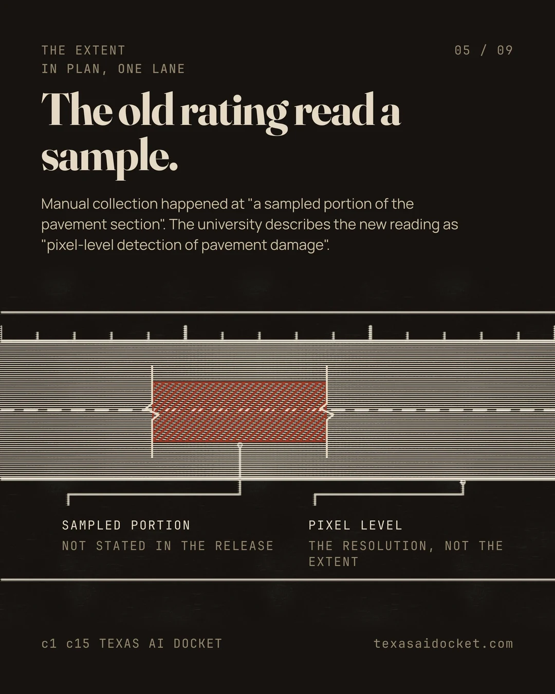
The same peer-reviewed paper describes the older human method as raters measuring distress by hand on a sampled portion of each pavement section.
Historically, manual data collection occurred at a sampled portion of the pavement section, where raters directly measured the length and severity of the surface distresses.
The paper states the manual method exposed raters to traffic and weather and carried human error.
This process posed a risk to the pavement raters due to exposure to traffic and harsh weather, along with inaccuracies due to human error.
The paper also states that automated results still have to be checked by a person.
However, the precision of this novel technology often leads to inaccuracies that must be verified by pavement engineers.
The measured detection result reported in that 2025 paper is a highest mAP50 between 0.437 and 0.462 across the training scenarios.
The YOLOv5 models are able to detect defined distresses consistently, with the highest mAP50 scores ranging from 0.437 to 0.462 throughout the training scenarios.
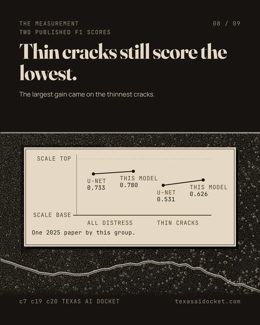
A separate 2025 paper by the same Texas State group reports that its pixel level segmentation model raised the F1 score from 0.733 to 0.780 against U-Net.
Compared with U-Net, it improved F1 from 0.733 to 0.780.
The same paper reports the largest gain on thin cracks, where the F1 score went from 0.531 to 0.626.
The gains were most pronounced on thin cracks, with F1 from 0.531 to 0.626.
TxDOT's research program requires that project statements go to the Federal Highway Administration and to TxDOT's own Executive Review Board for final approval.
Project statements are submitted to the Federal Highway Administration and the TxDOT Executive Review Board for final approval.
TxDOT's research projects page lists a problem statement due date of September 11th, 2026 for the fiscal 2028 research program, which fell the day before this record was compiled.
FY28 Problem Statement Due Date - September 11, 2026
Texas Transportation Commission meetings are open to the public except for closed executive sessions.
With the exception of closed executive sessions, all commission meetings are open to the public.
The commission posts each meeting agenda eight days ahead of the meeting.
Agendas are posted eight days prior to the meeting.
Four Texas Transportation Commission meetings remain on the published calendar for this year and none of them yet carries an agenda, a video or minutes.
09/24/26 (10:00 a.m.) 10/29/26 (10:00 a.m.) 11/20/26 (10:00 a.m.) 12/17/26 (10:00 a.m.)
The commission meets at the Dewitt C. Greer Building in Austin.
Dewitt C. Greer Building, 125 E. 11th St., Austin, Texas, in the Ric Williamson Hearing Room
The co-lead frames the work as a case of computer science and civil engineering producing something neither field reaches alone.
this research proves how breaking down academic silos between computer science and civil engineering yields solutions that neither discipline could achieve alone.
The release names three further researchers on the team beyond the two leads.
The cross-disciplinary research team also includes: Yongsheng Bai, Ph.D., a lecturer at the Ingram School of Engineering; Xiaohua Luo, Ph.D., an assistant professor of instruction at the Ingram School of Engineering; and Haitao Gong, Ph.D., a former postdoctoral scholar at the Ingram School of Engineering.